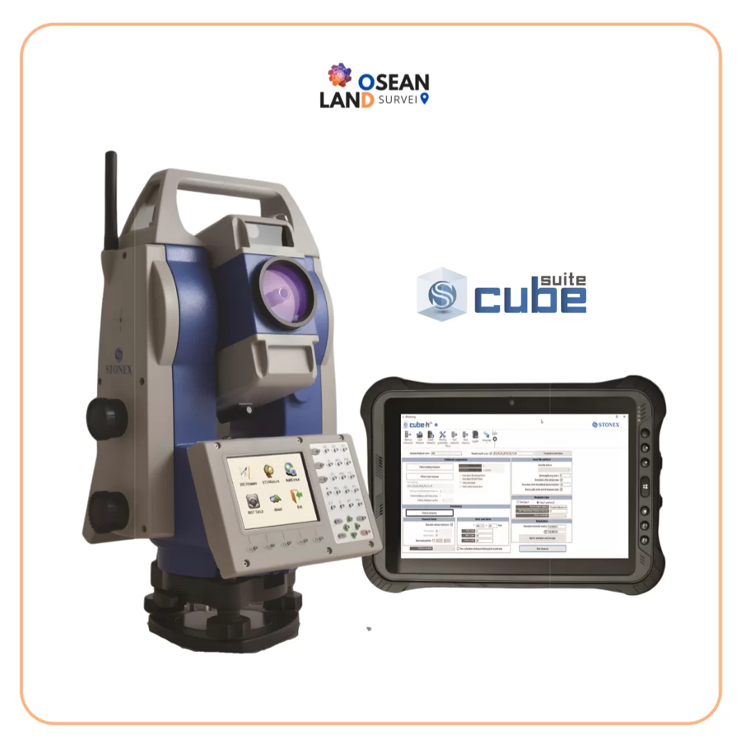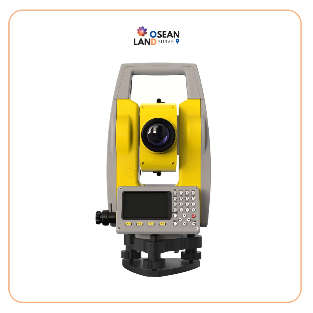
The Zoom10 Pro is an easy-to-use, reliable, and robust manual total station. Offering excellent price to performance ratio and low total cost of ownership, it’s a smart investment to start working with total stations and digital workflows.
Professional accuracy and reliability
The Zoom10 Pro delivers the accuracy and precision you need to work with confidence. With reflectorless measurements up to 600 metres and angular accuracy of 2”, get reliable results whether you’re staking out points, working on general construction layout tasks, calculating volumes, or recording as-built conditions. The Zoom10 Pro is not only trusted on construction sites, but also in sectors like utilities, mining, cadastral surveying, and education for geomatics professionals.
Software integration that simplifies your day
The Zoom10 Pro is part of an integrated and reliable GeoMax ecosystem that boosts your workflows. Fully supported with X-PAD Ultimate and X-PAD Ultimate GO field software, streamline both complex and everyday construction and surveying tasks to complete your projects smarter and faster. With real-time, easy data transfer via X-PAD 365 or your preferred cloud platform, move data effortlessly between field and X-PAD Office Fusion for processing. That means fewer delays, smoother workflows, and the efficiency to keep your projects progressing.
Your gateway to digital workflows
The Zoom10 Pro is a smart investment and practical step forward for professionals moving from manual tools to digital workflows with total stations. Its intuitive interface with dual displays makes it easy to learn and use, while compatibility with GeoMax field controllers and Android tablets and smartphones provides full flexibility to work your way. Using X-PAD field software, digitise and speed up all your field measurement work, benefitting from simplicity, efficiency and task-focused guidance.