Built on the Ground, Driven by the People Behind Every Survey
Every project starts with a single measurement. Here is the story of how Oseanland grew from a small field-gear supplier into a trusted mapping partner across Indonesia.
Our Story
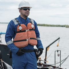
Oseanland didn’t start in a boardroom; it started out in the field. Early on, we saw how much time and effort survey teams lost to unreliable equipment, unpredictable weather, and difficult access. Getting good data back to the office wasn’t just a technical task—it was a daily struggle against tough conditions.
We set out to change that by focusing on two simple things: gear that actually works when you need it, and honest, practical support when challenges pop up on site.
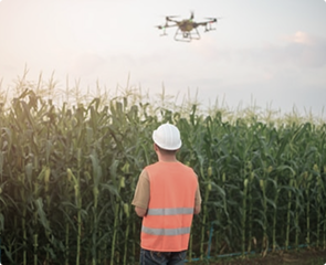
Over the years, as construction, mining, and maritime projects expanded across the islands, our journey expanded too. What began with land surveying tools grew into advanced drone mapping, airborne scanning, and boat-mounted seabed equipment. Today, Oseanland continues to work alongside crews across the country, making sure every team has the right tools to get the job done safely and accurately.
Our Vision
Be the top company in Indonesia as a provider of smart solutions in the fields of Geospatial, LiDAR and Hydro-Oceanography technology.
Our Mission
We provide comprehensive smart technology solutions to enrich the experience and productivity of users that require accurate, fast and precise 2D / 3D positioning solutions.
Built for Real Conditions
Lorem ipsum dolor sit amet, consectetur adipiscing elit. Ut elit tellus, luctus nec ullamcorper mattis, pulvinar dapibus leo.
No Overhead Fluff
Lorem ipsum dolor sit amet, consectetur adipiscing elit. Ut elit tellus, luctus nec ullamcorper mattis, pulvinar dapibus leo.
We Don’t Walk Away After Delivery
Lorem ipsum dolor sit amet, consectetur adipiscing elit. Ut elit tellus, luctus nec ullamcorper mattis, pulvinar dapibus leo.
Evolving with the Industry
Lorem ipsum dolor sit amet, consectetur adipiscing elit. Ut elit tellus, luctus nec ullamcorper mattis, pulvinar dapibus leo.
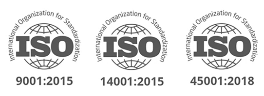
Internationally Certified Standards for Quality, Safety, and Reliability
Backed by ISO 9001, 14001, and 45001 certifications to ensure high operational quality, environmental care, and workplace safety across every project.
Need Our Company Details?
One click to download our official profile and product range.