Aerial & LiDAR

Geospasial

Marine & Hydrography

Pulsar Solution

Monitoring System

Agriculture & Precision Farming

Sensor Drone & Payload

UAV

Software

Integrated System

1745312764314

Disaster Migation

Mining

Infrastructure

Agriculture & Plantation

Marine & Water Resources

EPC & Industrial

Energy & Utilities

Sensor Drone & Payload

UAV

Software

Integrated System

1745312764314
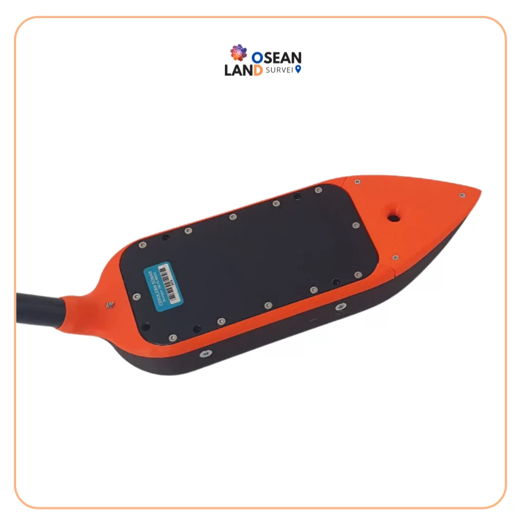
EchoNIMBUS - MBES Multibeam Echosounder Payload

EchoNIMBUS – MBES Multibeam Echosounder Payload

EchoNIMBUS-MBES payload includes:

Cerulean Surveyor 240-16 MBES sensor headCerulean Bar30 depth/pressure sensorFoldable mount with housing/fairing for MBESData cable with connector for SkyHub onboard computerTransport caseSurveyor 240-16 is a 240 kHz multibeam echo sounder (MBES). It has a transmit beam approximately 4 degrees along track, 80 degrees cross track, and a 16-element receive array.

Surveyor 240-16 utilizes an angle-of-arrival estimation algorithm to measure cross track location of specific acoustic reflectors well in excess of the accuracy achievable with conventional beam-forming techniques. Thus, although the effective cross track beam width with conventional beam forming is about 7 degrees, Surveyor can resolve angle of arrival to less than one degree.

Depending on the range and acoustic properties of the bottom, Surveyor typically identifies 10-15 acoustic targets across track within a swath width of 80 degrees. The position and depth of these targets are then accurately calculated by range and angle of arrival.

Surveyor includes a built-in IMU for pitch and roll. Heading and coordinates for data geotagging are coming from the drone.
EchoNIMBUS - MBES Multibeam Echosounder Payload

Download

Ready to Elevate Your Operational Efficiency?

Contact our enterprise specialists today for a personalized consultation and a custom quote tailored to your industry’s needs.

You Might Also Need

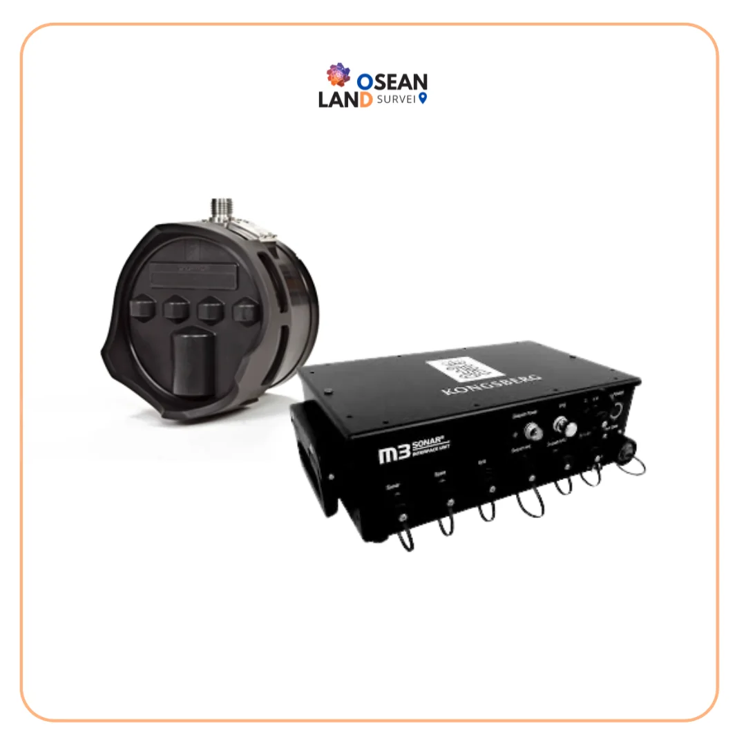
MBES M3 SONAR KONGSBERG

M3 Sonar MBES Kongsberg

The M3 Sonar is a powerful multibeam system designed to deliver both high-quality imaging and accurate bathymetric data from a single compact sonar head. With its patented eIQ (enhanced image quality) mode, it produces exceptionally clear underwater images while maintaining the speed and efficiency of multibeam technology.

View

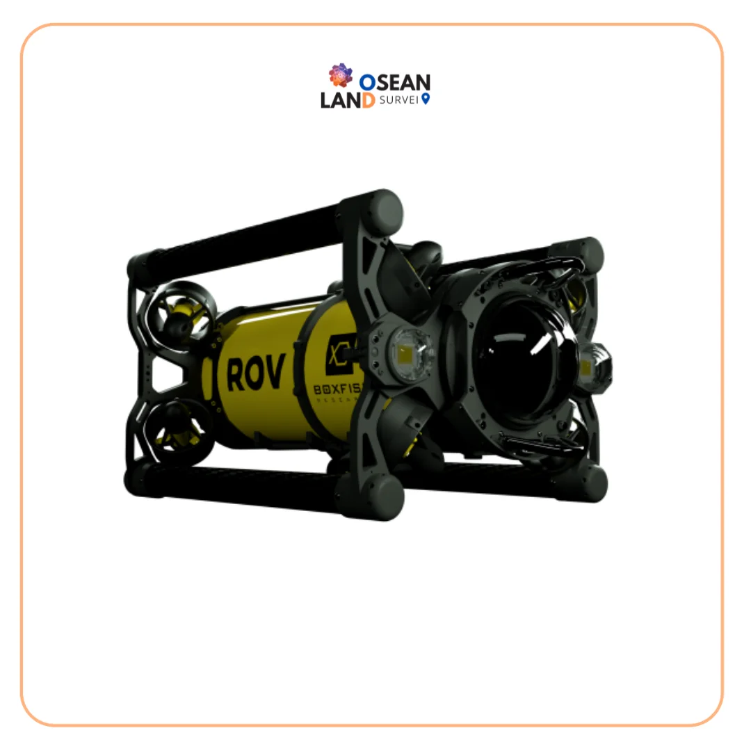
Boxfish ROV

Boxfish ROV

The Boxfish ROV features an innovative lightweight design that enables easy deployment and operation by a crew of just two, directly from small vessels without requiring additional launch and recovery equipment.

View

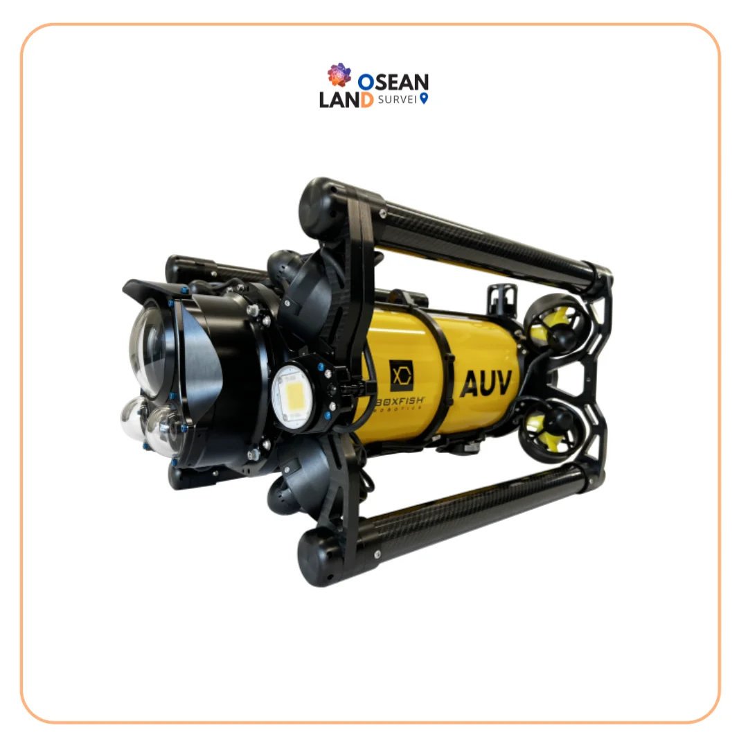
Boxfish AUV

Boxfish AUV

The Boxfish AUV is a latest-generation tetherless hovering autonomous underwater vehicle engineered to deliver precision, stability, and operational flexibility.

View

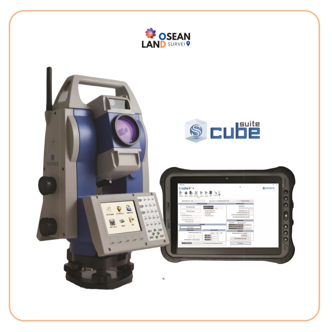
H24

H24

Cube-a is Stonex’s solution for professional surveying and GIS which has been designed and developed for the Android platform.

View

All Filter

Sort by