Aerial & LiDAR

Geospasial

Marine & Hydrography

Pulsar Solution

Monitoring System

Agriculture & Precision Farming

Sensor Drone & Payload

UAV

Software

Integrated System

1745312764314

Disaster Migation

Mining

Infrastructure

Agriculture & Plantation

Marine & Water Resources

EPC & Industrial

Energy & Utilities

Sensor Drone & Payload

UAV

Software

Integrated System

1745312764314
Magnetic Probe Extensometer

Magnetic Probe Extensometer

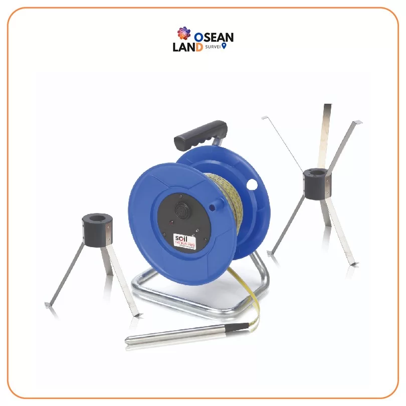
The Soil Instruments Magnetic Probe Extensometer is used to monitor soil or rock settlement and heave in excavations, foundations, dams, embankments, tunnels, shafts, and sheet piles. Data from the extensometer indicate the depths at which settlement has occurred as well as the total amount of settlement.

The Magnetic Extensometer System comprises a probe, a graduated tape on a reel, and an access pipe along which magnetic targets are positioned. A datum or reference magnet is fixed to the bottom pipe. The probe design incorporates triple reed switches. As the probe moves along the access pipe, it detects the magnets by way of a reed-switch circuit closing. This causes a light to display and a buzzer to sound at the reel.

The bottom of the access pipe is anchored into stable ground such as bedrock. Any settlement or heave of the ground being measured will cause the magnets to move along the axis of the pipe. Various types of magnetic targets are available. There are three-legged and six-legged spider magnets, retained by leaf springs, for use in boreholes. Plate magnets are also available for placing in soil or fill when adding further sections of tubing during construction.
Magnetic Probe Extensometer

Download

Ready to Elevate Your Operational Efficiency?

Contact our enterprise specialists today for a personalized consultation and a custom quote tailored to your industry’s needs.

You Might Also Need

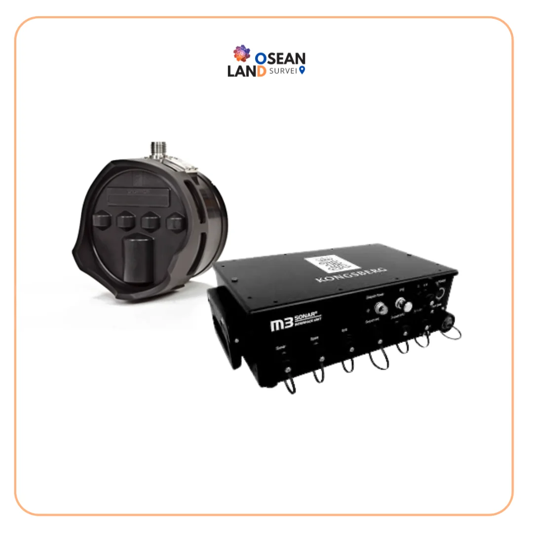
MBES M3 SONAR KONGSBERG

M3 Sonar MBES Kongsberg

The M3 Sonar is a powerful multibeam system designed to deliver both high-quality imaging and accurate bathymetric data from a single compact sonar head. With its patented eIQ (enhanced image quality) mode, it produces exceptionally clear underwater images while maintaining the speed and efficiency of multibeam technology.

View

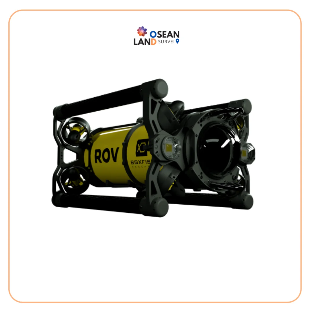
Boxfish ROV

Boxfish ROV

The Boxfish ROV features an innovative lightweight design that enables easy deployment and operation by a crew of just two, directly from small vessels without requiring additional launch and recovery equipment.

View

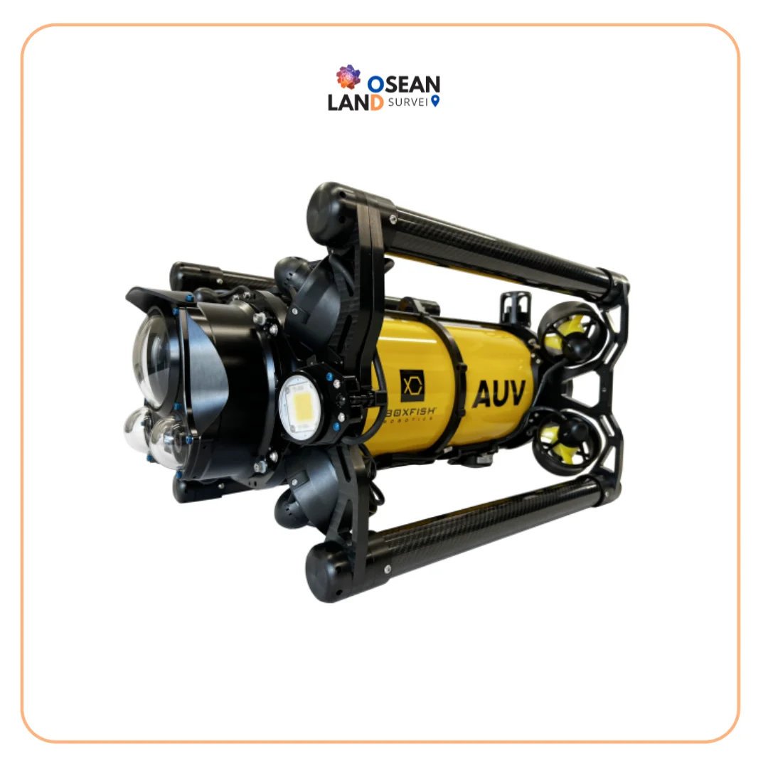
Boxfish AUV

Boxfish AUV

The Boxfish AUV is a latest-generation tetherless hovering autonomous underwater vehicle engineered to deliver precision, stability, and operational flexibility.

View

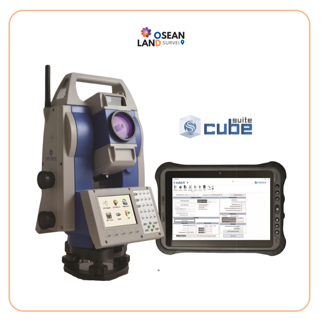
H24

H24

Cube-a is Stonex’s solution for professional surveying and GIS which has been designed and developed for the Android platform.

View

All Filter

Sort by