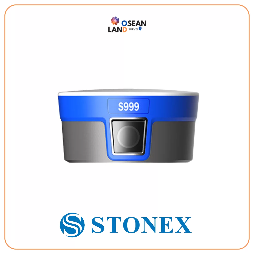
S999, equipped with1408 multi-constellation channels, guarantees precise and reliable positioning by supporting all GNSS signals, including GPS, GLONASS, Galileo, QZSS, IRNSS, and BeiDou. It features an integrated 4G modem and a 1-Watt UHF radio operating in the 410-470 MHz and 902.4-928 MHz frequency ranges, ensuring constant connectivity and an extended working range.
The advanced IMU technologyenables tilted measurements of up to 60° with rapid initialization, enhancing field productivity by as much as 40%. The S999 receiver is also equipped with two cameras: one for stakeout and one for photogrammetric applications, expanding the system’s usage possibilities.
Visual stake out
The front camera simplifies point staking by clearly showing the surrounding area, helping you accurately identify the point of interest. As you get closer, it automatically switches to the lower camera for precise framing, ensuring reliable measurements. Cube-a’s interface uses visual aids to guide surveyors to the exact staking location. A graphical display indicates both the direction and distance to the point, adjusting as the operator approaches.
Measuring inaccessible points
The system allows you to record a video of the area you want to measure. The program extracts several photos that the operator can use toalign the points to be measured. Cube-a then immediately provides the calculated coordinates, which can be easily recorded. Measurements can be taken offline as well.
Online point cloud and mesh
Theacquired videoof an area can be exported and uploaded to photogrammetry software (Cube-3D) to generate a three-dimensional model (point cloud and mesh). Alternatively, it can be sent directly from Cube-a to the Stonex VScloud for semi-real-time data processing, resulting in a 3D model (point cloud and mesh). The survey can then be visualized and managed directly on the Android controller within Cube-a (v. 7).