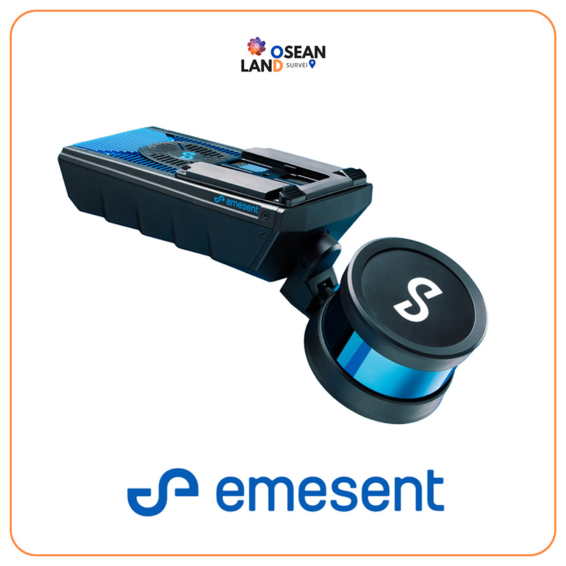
Augment your Hovermap point cloud scans with 360-degree panoramic imagery to add extra contextual information and derive new insights. The 360-degree camera attaches directly to the Hovermap unit and is designed to comfortably hold in one hand, enabling easy capture of panoramic images and 3D LiDAR data at the same time. During processing in Aura, the 360 images are automatically registered to the point cloud without the need for calibration, streamlining workflows. The aligned images and LiDAR point cloud data are then ready for export and display in third-party platforms including Pointerra3D, Cintoo Cloud and Bentley iTwin.
Comfortable to hold and operate, for easy capture, registration, and export of 360° panoramic images
360° images automatically appear in the correct location on the point cloud, ready for visualization