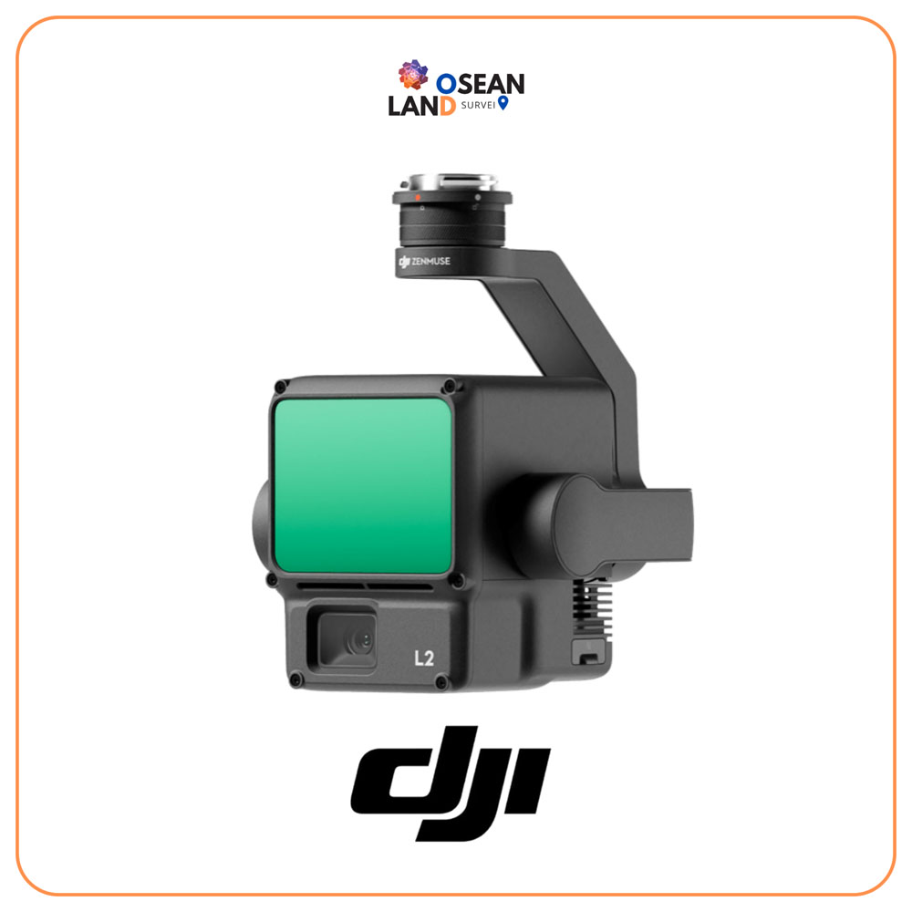
The Zenmuse L2 integrates frame LiDAR, a high-accuracy IMU system, and a 4/3 CMOS RGB mapping camera. This provides DJI flight platforms with precise, efficient, and reliable geospatial data acquisition. When used with DJI Terra, it delivers a turnkey solution for 3D data collection and high-accuracy post-processing.
With its powerful hardware, L2 enables precise scanning of complex subjects over an extended range and faster point cloud acquisition. Users can preview, playback, and process point cloud models on-site during operations. DJI Terra generates Task Quality Reports, providing a simple, one-stop solution to improve overall efficiency. This ensures high-precision point cloud results with one-stop post-processing.